By Mark Pfost, Public Lands Ecologist – mpfost@wisducks.org
This article originally appeared in Wisconsin Waterfowl Association’s July, 2024 Newsletter edition.
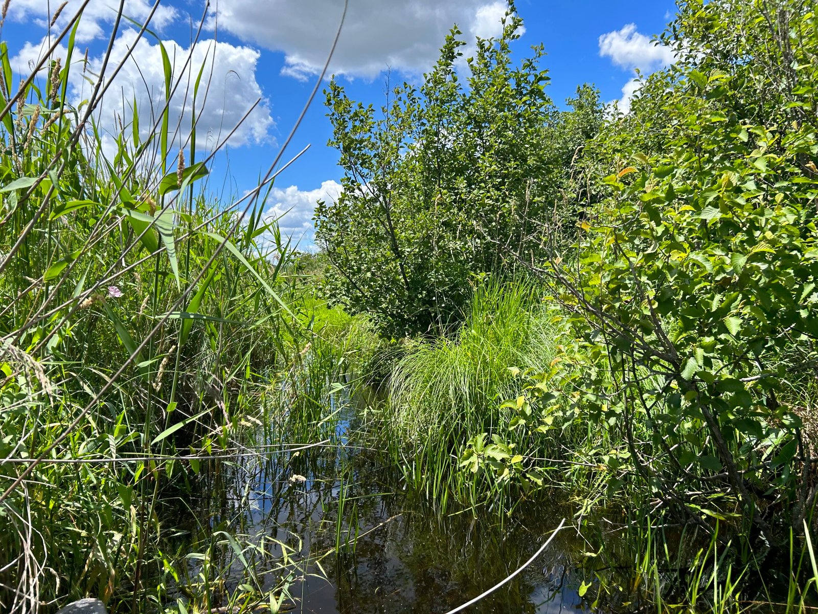
My fellow WWA Ecologist Anna Rzchowski and I surveyed a small part of Poygan Marsh Wildlife Area’s 3,500 plus acres last month.

Situated on the west end of Lake Poygan in Waushara County, the wildlife area is crisscrossed with ditches; topographic relief is only a few feet. Even though we surveyed less than 130 acres, we couldn’t effectively do it by foot – so we did most of it by canoe.
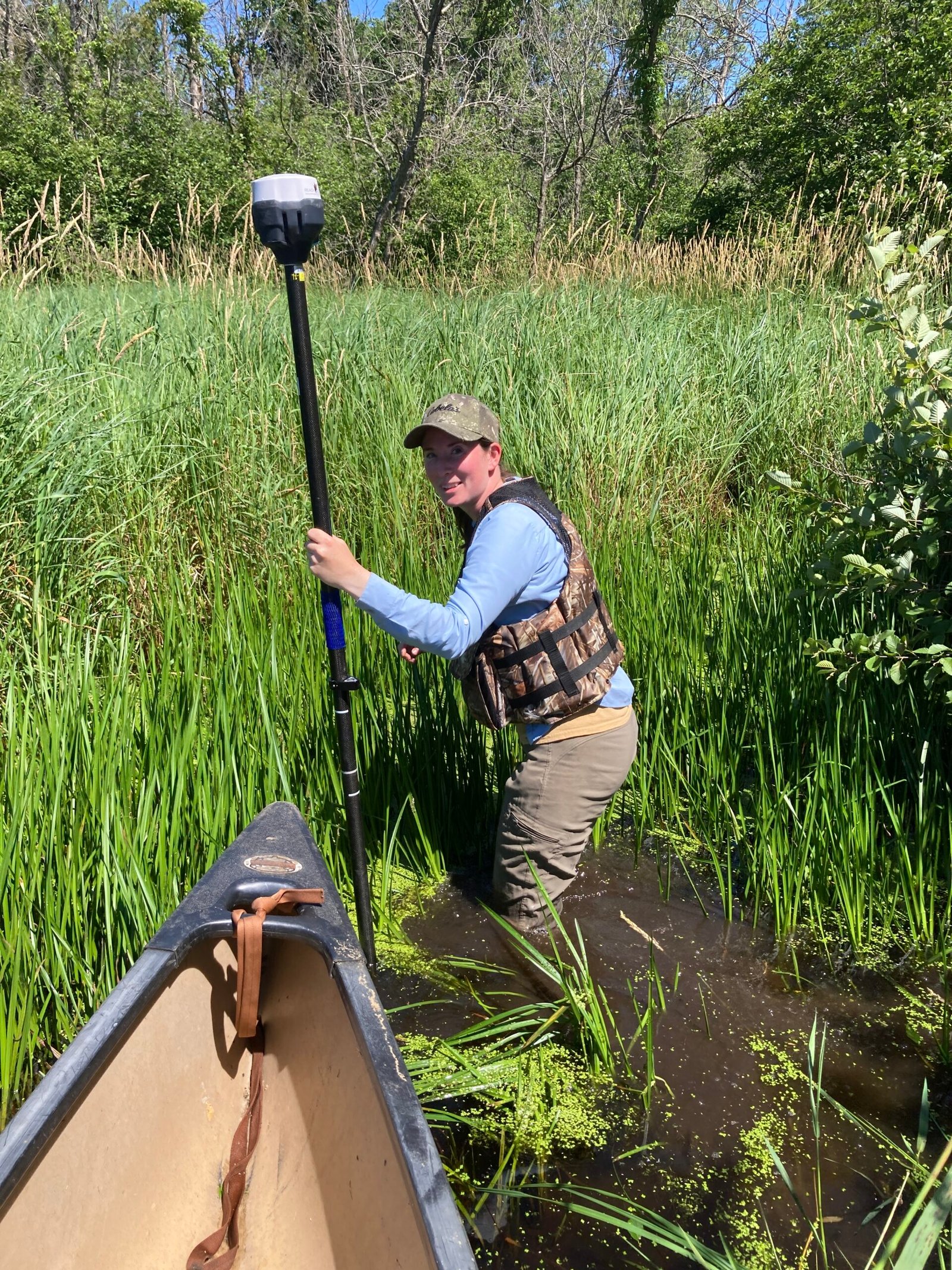
We surveyed cross-section transects across ditches to determine elevations from one side to the other; in doing so we collected the height of spoils piles deposited when the ditches were dug – sometime during or after The Great Depression. We also collected ditch-bottom elevations to help us determine with more certainty which way water flows through the confusion of ditches.
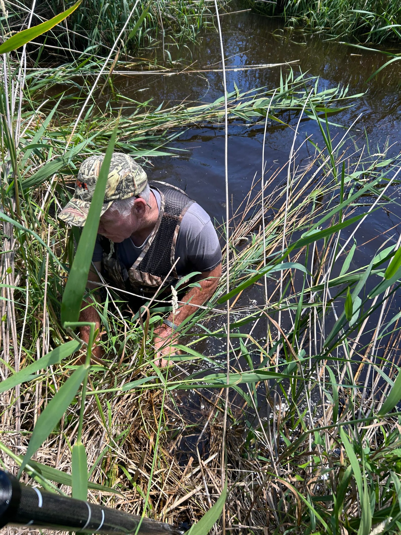
Depending on which ditch and at what point we surveyed, typical widths were between thirty and sixty feet. In some places ditches were hip-boot depth, in others chest-wader depth, had we been wearing them. In most places the bottom was firm, but we also got sucked deep into muck. Fortunately, there was wind enough that neither of us swatted a single mosquito.
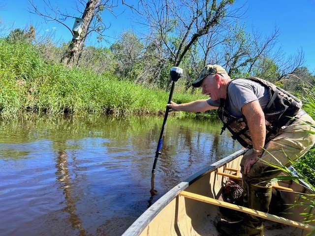
In all, we collected elevations at 160 points, but we’ll need to collect more before we have enough information to start thinking about what might be possible. It is very unlikely that we’ll be able to plug or fill sixty-foot-wide ditches, but we may find feasible projects once we gather additional data and analyze what it all means.