Product
has been added to your cart.
Join
Donate
Conservation
Current News Conservation
Public Lands
Private Lands
Nesting Structures
Abrams Property
Local Volunteer Conservation
Wild Rice
Education
Current News – Education
Waterfowlers Academy
Waterfowl Hunters EXPO
School Curriculum
Advocacy
Current News
Hunter and Conservation Advocacy
Sandhill Crane Policy Resources
Migratory Bird Management
Join/Support
Become a Member
Donate
Events
Volunteer
Find a Chapter
Store
Class A Raffles
Event Tickets
Wood Duck Boxes
Lifestyle/Hunting
Words From The Wardens
Decoy Carving Contest and Exhibition
Wisconsin Decoy Heritage
Waterfowl and Wild Game Recipes
Public Lands
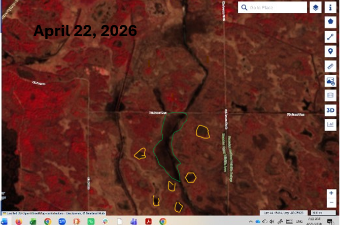
An Update on the Water Levels at Little Yellow River Project
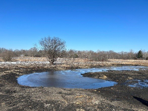
Wetlands Restored in the Kettle Moraine State Forest-Southern Unit
Public Land and the Democracy of the Hunt
Little Yellow River Watershed Project: Phase II Update
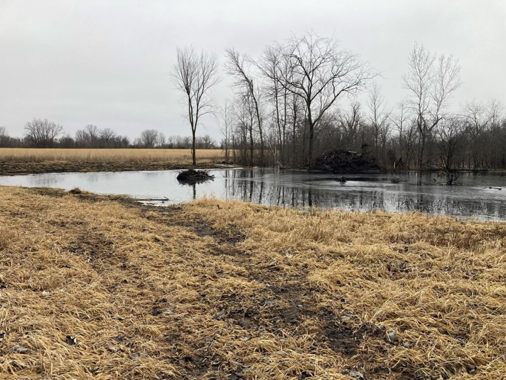
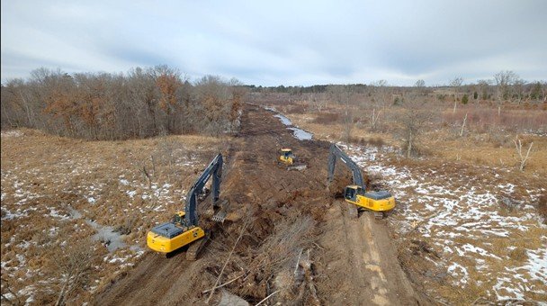
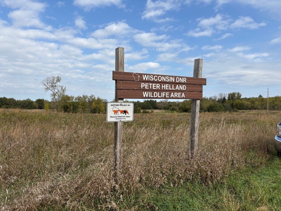
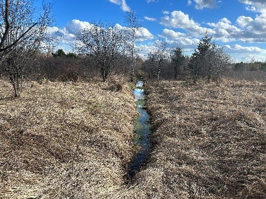
Peter Helland Project Update
Solving a Jackson Marsh Hydrological Mystery
Better Habitat. Better Hunts.
White River Fishery Area: WWA Completes Third Public Lands Project
Navarino Project: Three-and-One-Half Months On
Peter Helland Wildlife Area – Another Public Lands Project is Underway!
1
2
Next
Menu